IMAGE
IMPERIAL COLLEGE WEATHER GENERATOR
Key
Partners: OASIS and Climate KIC
IMAGE
We never have enough years of observations or model simulations to examine very low probability high impact events. IMAGE is a new weather generator. It captures spatial-temporal correlations of events which most generators do not. Our generator is particular good at extremes. This is vital when trying to simulate the footprints of, for example, extreme rainfall or wind. It is also important when trying to understand the energy security of distributed renewable energy. For example, we can now answer the question what is the risk of enough wind in one region but not in another? We need to stochastically simulate 1000s of years of synthetic data to generate a large sample of extremes. IMAGE is an accurate generator that can scale up data to large synthetic event sets.
How it works
To train the model we need quality controlled input data. IMAGE is only as good as the input data. One of our key data suppliers is Mariclime Numerics.
We model all variables as first-order autoregressive and that daily variability can be treated independently of longer time-scale variability. The long term variability simulated by correlated (spatial and monthly) AR parameters, whereas the short-term (daily) variability becomes the white temporal noise in the AR model. We use EOFs to spatial-temporal correlate both the AR parameters and temporal noise and periodically extended EOF of monthly AR coefficients calculated for each year.
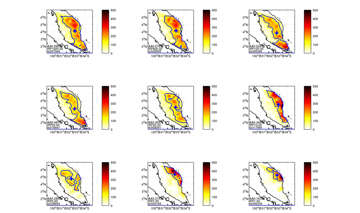
Extreme Rainfall in Malaysia
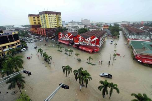
Malaysia suffers from frequent flooding, data is sparse and the need to understand extreme rainfall in urgent. As part of the Climate KIC participation in the OASIS project we deployed IMAGE to simulate extreme rainfall based on only 30 years of data. The figure below shows the footprint of extreme rainfall for a 1000 year to 1 year event. This data is now also available on the OASIS Hub.