Background
In May 2002 a barometer was successfully placed on the South Col (8000 m) of Mt. Everest [1]. Data will be collected in Spring 2003 and should provide the highest continuous record of atmopsheric pressure. This proposal is to develop a network of barometers on three mountains in the same region: Mt. Everest, Cho Oyou and Shishapangma.
When investigating atmospheric pressure at high altitudes the complete range of time scales from diurnal to decadal are of interest. Recent model studies suggest that mountain regions are particularly vulnerable to greenhouse induced warming and there have been observations of dramatic changes in the mountain climate in the tropics [2,3]. Toumi et al. [4] have shown that long-term mountain station pressure increases are consistent with tropospheric warming below the mountain station. On synoptic timescales, the Himalayan mountain range provides orographic forcing for planetary waves. Furthermore, the region is at the centre of the upper level monsoon anti-cyclone which dominates the Summer circulation from Africa to the West-Pacific. In Winter the region is at the centre of the sub-tropical jet. Finally, there are diurnal (increasing with altitude) and semi-diurnal waves of pressure driven by solar heating. This fundamental property of the atmosphere is relatively poorly understood. Current theories are unable to explain much of the amplitude of the waves [5] and there are only sparse observations at mountain sites [6] (none at the altitude of the HIMAP project). Accurate weather prediction requires improved corrections for these waves. This critical region is data sparse with only a handful of radiosonde stations in India and Tibet. Lack of knowledge of the upper-level conditions is one of the limitations which restricts forecasts in Nepal to only one day ahead. The HIMAP project is highly timely as it overlaps with the GEWEX/ Coordinated Enhanced Observing Period (CEOP) and CAMP (CEOP Asia-Australia Monsoon Experiment) [7]. This will provide a unique opportunity to maximise the scientific value of the proposed measurements by providng simultaneous low level surface (particularly pressure) and satellite/radio sonde observations of the temperature structure. Commercial climbing has also grown rapidly over recent years so that organsisers go to the same mountain every year making the timetabling of this project realistic.
Methodology
The primary aim of HIMAP is to establish a network of three barometers operating simultaneously on three mountains: Mt. Everest (South Col, 8000 m), Cho Oyu (8201 m) and Shishapangma (8027 m). These three mountains form an approximate 80 km long East-West chain along similar latitude (28N). The installation of the instruments will be done by a commercial climbing company . Instruments will be completely replaced as at these altitudes climbers can not be expected to perform data retrieval tasks. The 1st suite of instruments will be replaced by new copies in year 2 so that there will then be one year of data to analyse. The 2nd suite of instruments will then be left to operate for 3 years before being collected and replaced again in 2007. If problems are identified the replacements may be brought forward.
Timetable
Phase 1: Spring/Summer 2003; installing barometers on the summits
of Cho Oyu and Shishapangma. Data collection and replacing the current
insturment on the South Col of Mt. Everest for a new one.
Phase 2: Spring/Summer 2004; data/barometer collection and replacing
the baromteres on Cho Oyu and Shishapangma
Phase 3: Spring/Summer 2007: data/barometer collection
and replacing of all barometers.
Scientific studies
Diurnal variability
Analysis [6] of 3 hourly observations have shown that at high altitude the diurnal tide can be as large as the semi-diurnal tide. The diurnal tide appears to be driven by surface sensible heating and is a good proxy for the diurnal temperature range. The diurnal temperature range itself is showing strong downward trends globally and regionally [2,3]. The HIMAP project will provide a unique data set of 5 minute pressure for the study of diurnal and semi-diurnal waves. The coupling of the diurnal wave with the seasonal cycle is of particular interest. The diurnal amplitude (approximately 0.6 hPa, our measurements will have an accuracy of 0.1 hPa for hourly means) has been reported to have only a small seasonal cycle [7]. However, this appears to be in conflict with the assertion of modification of the amplitude by sensible heating and the strong seasonal cycle of the diurnal temperature range in this region. Inspection of the data coverage shows (as expected) a large data gap for this region. Wavelet analysis on the 5 minute data will be used to demonstrate the coupling of the diurnal with the seasonal cyle and other longer period fluctuations. The seasonal mean amplitude of the diurnal cyle will also be calculated and compared with predictions by classic theory, climate models and reanalysis fields.
Synoptic variability
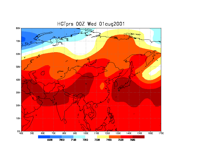
The Asian summer monsoon is characterised by active and break cycles which correspond to shifts of the upper level (above 5 km) anti-cyclone. This is an important intra-seasonal mode which determines the total rainfall during the monsoon season. However, so far nothing is known about the nature of the upper level higher frequency component of these cycles particularly in their transition periods. Specifically, we will examine to what extent upper level features lead surface observations in Nepal and India and could thus be potentially used for forecasting. In Winter, the winds reverse and the region is at the core of the sub-tropical westerly jet. Variability of the jet position and strength is partly controlled by the baroclinicity of the region and orographic forcing. The 3 in-situ observations will be compared with NCEP (or Met. Office) analyses of geopotential height in this region (the winter field trial on Mt. Blanc showed excellent agreement between pressure reading and geopotential in that data rich region [1]). The temporal and spatial scale of our observed fluctuations will then be interpreted in terms of the position and strength of the jet in the analysis fields.
Long term changes.
One of the longer term aims of HIMAP is to establish the network to study inter-annual variability and trends. Observations of pressure/atmospheric thickness can then be used to monitor warming in the region independent from surface temperature observations (which can be problematic) [4]. Recent work from this group [8] has shown that the end of the monsoon season is being increasingly delayed. This may be due to recent warming of the land mass and is the only observed change of the South Asian summer monsoon in the context of global warming. HIMAP data will be used to study the inter-annual variability of the withdrawl of the monsoon by monitoring the seasonal weakening of the anti-cyclone in-situ.
Local Features Mountains cause significant modification of the flow and this needs to be considered in our analysis. This difficult problem is also an opportunity and is addressed in several ways. Firstly, the time scale of any random pressure fluctuations is likely to be short (less than days) so that by averaging 5 minute data over several years it will still be possible, at the very least, to identify the magnitude of the diurnal signal. Secondly, any local quasi-stationary pressure signals can be identified by comparing the 3 simultaneous observations. The three sites have their unqiue topography (e.g. Cho Oyu is a broad peak compared to the relatively narrow South Col), but are sufficiently close to be affected by the same synoptic flow. The simultaneous observations on three mountains should allow us to distinguish between synoptic/regional pressure changes and those pressure fluctuations which are specific to the immediate topography. Thirdly, with a seperation of 55 km (Shishapangma-Cho-Oyu) km and 25 km (Cho Oyu-Everest) along the mean westerly flow for most of the year and a resolution of 5 minutes it may even be possible to identify wave trains in the pressure time series. Finally, nothing is known about the magnitude, temporal or spatial scale of the fluctuations involved in this region. The data can be used to test the orographic formulation and consequent predictions of geopotential in weather prediction and climate models.
Funding
Support for this project comes from NERC and the Philip Leverhulme Prize awarded to Dr Toumi
References
1.http://www.sp.ph.ic.ac.uk/~rtoumi/EVE/eve.html
2.IPCC, Climate Change 2001. Houghton et al, (ed), Cambridge Univ.
Press., 2001.
3.Shresta AB et al., Maximum temperature trends in the Himalaya and
vicinity, J. Climate, 2775-2786, 1999.
4.Toumi R, Hartell N, Bignell K, Mountain station pressure as an indicator
of climate change , Geophys. Res Lett , 26, 1751-1754, 1999.
5.Braswell, WD and Lindzen, RS Anomalous short wave absorption and
atmospheric tide, Geophys. Res., Lett., 25 ,1292-1296, 1998.
6.Hardy, DR et al., Annual and daily meteorological cycles at high
altitude on a tropical mountain, Bull. Am. Met. Soc., 79, 1899-1913,
1998.
7. Dai, A and Wang, J Diurnal and semidiurnal tides in global surface
pressure fields, J. Atmos. Sci., 56, 3874-3891, 1999.
8.http://www.joss.ucar.edu/ghp/ceopdm
9. Syroka J, Toumi R Recent lengthening of the south Asian summer monsoon
season GEOPHYS RES LETT 10.1029/2002GL015053 28 May 2002